Client: Ramboll/ENVIRON
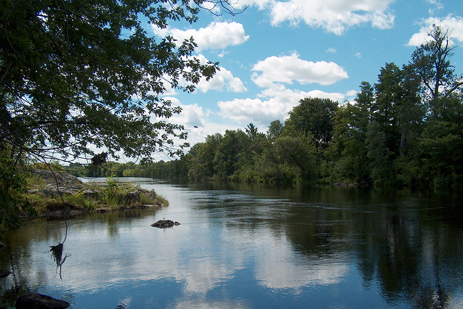
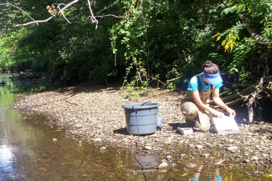
Project Highlight: Normandeau led a comprehensive court-ordered study in the Penobscot River. The team conducted “clean hands” field sampling of water, sediment, fisheries, shellfish, and other biota throughout the system in support of a court-ordered mercury study.
Services Provided:
- Water quality studies
- Current flow studies using ADCP
- Water sampling
- Fisheries and biota sampling
- Over 5000 samples acquired
Beginning in 2006, Normandeau implemented a synoptic multi-year collection of water, sediment, fisheries, shellfish, and invertebrates from north of Millinocket south to Isleboro that lasted through 2013. A court-ordered study mandated a comprehensive investigation of mercury levels emanating from the Holtrachem plant in Orrington, Maine. Normandeau led a team that collected water, sediment, fisheries, and biota throughout the Penobscot River and Penobscot Estuary system for subsequent methyl mercury analysis. The Normandeau team was responsible for over 5,000 samples, collections, identifications, inventory, and shipment for analyses. The study necessitated careful adherence to “clean hands” techniques and sampling protocols to accommodate the highly sensitive testing methodology and low concentrations of mercury in the water.
Beginning in 2008, Normandeau supported extensive specialized studies focusing on the Penobscot Estuary. Water studies included measuring water quality parameters (using In-situ instrumentation), measuring currents and flows (using the acoustic Doppler current profiler), and collecting water samples over a range of flow conditions. Wetland sampling was conducted to collect surface sediment samples across a variety of stations, elevations, and vegetation regimes. Biota collections include fish, lobster, and other invertebrates. Normandeau’s expert fisheries biologists analyzed American eel otoliths to determine age and analyzed fish stomach contents to assess food webs. A team of mussel specialists collected mussels and sediment at three representative estuaries (as well as the Penobscot River).
In support of project partners from the University of Southern Mississippi and the University of New Orleans, Normandeau performed deep sediment coring, which was accomplished using vibracoring in both marsh and deep-water habitats. Normandeau staff also provided field assistance to the Smithsonian Institute in its study of mercury transport in the Penobscot River. Normandeau’s GIS staff created sediment and watershed maps using field collected data and ArcGIS with Spatial Analyst. The GIS team was instrumental in generating points using USGS maps and Spatial Analyst for field crews to navigate.


