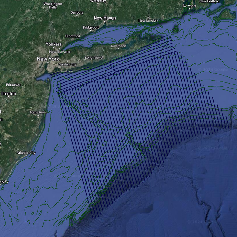
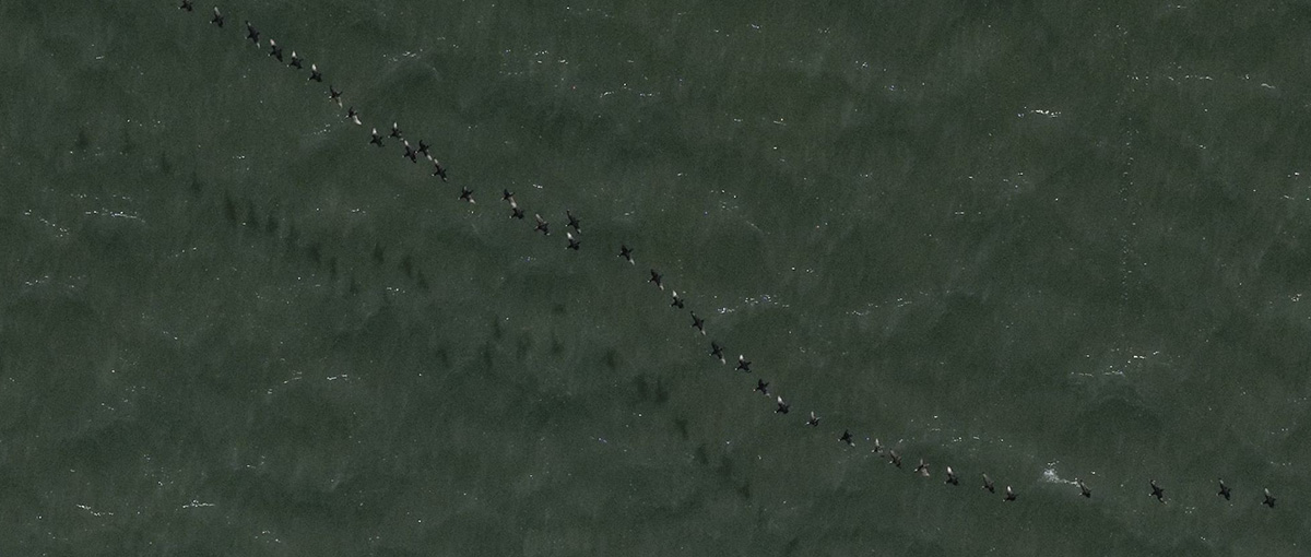
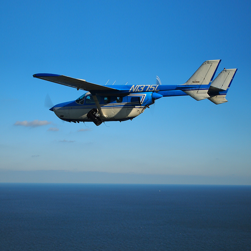
High Resolution Aerial Mapping
Wildlife, Habitat, and Infrastructure Surveys and Mapping
The Normandeau–APEM team combines extensive knowledge of innovative technology and methods with scientific integrity and regulatory experience. From study design to permitting and compliance, our team can provide a cost-effective solution for collecting accurate, robust, defensible scientific data. Secure online access to your georeferenced data layers is also available to easily view change over time at your surveyed locations.
Remote Marine and Onshore Technology (ReMOTe) is Normandeau's secure, real-time data portal. ReMOTe provides the ability to access, analyze, and visualize high-resolution images and survey data in a secure, user-friendly platform. ReMOTe images and data are well-organized, secure, and easily accessible for sharing.

Bottlenose dolphin taken at 433 m altitude and 1.5 cm resolution

Magnificent Frigatebird taken at 433 m altitude and 1.5 cm resolution

Laughing Gulls taken at 600 m altitude and 1.5 cm resolution

Tri-colored Heron taken at 433 m altitude and 1.5 cm resolution

Minke whale taken at 350 m altitude and 2 cm resolution

Northern Gannet taken at 350 m altitude and 2 cm resolution

Osprey taken at 433 m altitude and 1.5 cm resolution

Brown Pelican taken at 433 m altitude and 1.5 cm resolution

Brown Pelicans taken at 1,000 m altitude and 2.5 cm resolution

Royal Tern taken at 450 m altitude and 1 cm resolution

Loggerhead sea turtle taken at 600 m altitude and 1.5 cm resolution
About Our Unique Environmental Consulting Technology